|
Interstate Highway 80 - Salt Lake City to Wendover
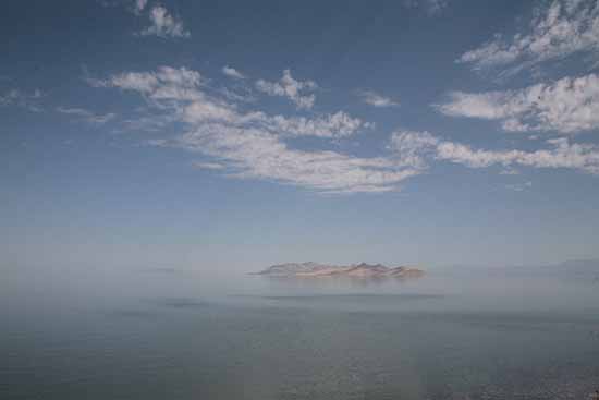
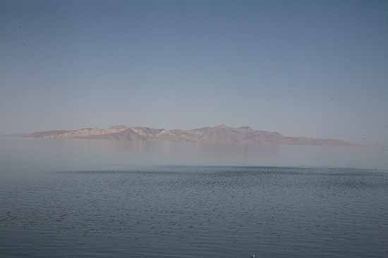
The Great Salt Lake is located in the northwestern part of Utah. Although water level varies from season to season and year to year, the lake is huge. In 1963, it covered 937 square miles. In 1986, it covered 2,300 square miles. On average, the lake covers about 1,730 square miles. This much variation in a relatively shallow lake can move some of the shorelines as much as 15 miles. Wherever the current limits of the lake happen to be, it is the largest lake in the country west of the Mississippi River. It is also the largest salt water lake in the entire country. In fact, it is the largest salt water lake in the Western Hemisphere.
The level of salinity in the water is very high. There is more saline and other minerals in some parts of The Great Salt Lake than in the oceans. Three major rivers, the Jordan, Webber, and Bear, flow into the lake, but there is no way for the water to exit the lake, except by means of evaporation. It is what the geologists call a terminal lake, like Mono Lake in California and Pyramid Lake in Nevada, The scientists tell us that an average of 2.6 billion gallons of water evaporate from The Great Salt Lake every day. It is estimated that over a million tons of minerals are deposited in the lake each year. The level of salinity varies in different areas in and adjacent to the lake depending for most part on the proximity to an inflow of fresh water from one of the rivers.
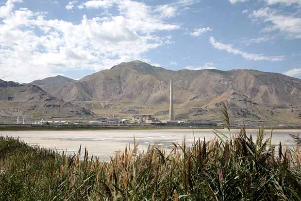
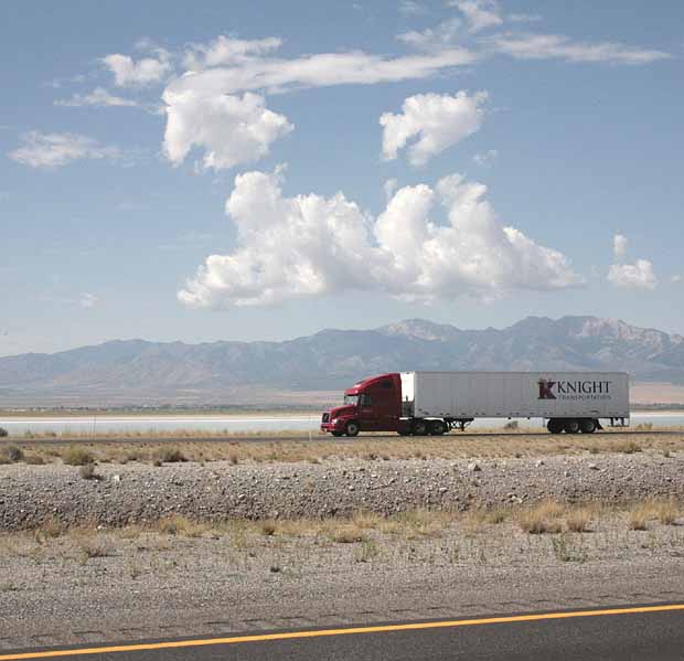
Brine shrimp and brine flies love these conditions and the flies thrive at water's edge all around the lake. Scientists estimate that the population of brine flies exceeds one hundred billion. This provides important food sources and habitat for various forms of wildlife, particularly gulls, shorebirds, ducks and geese. Several large companies extract salt and minerals from the lake. Interstate 80 crosses the southern edge of the lake along with a rail line, currently operated by Union Pacific.
One of "the things to do" is to go swimming at Bridger Bay on the north end of Antelope Island. The sand there is unique. Most of the grains are perfectly round. When you go into the water you float like a cork.
The Great Salt Lake is a remnant of the prehistoric ice age Lake Bonneville which was much larger. Lake Bonneville at it's peak, many millennia ago, was nearly 325 miles long, 135 miles wide and more than 1,000 feet deep.
|
|